Built for the Enterprise
Works in Your IT Environment
Designed for Mobile First
Gives you Control
Powerful GIS Mapping
Easy to Use
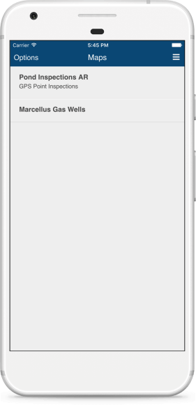
Designed For Use in the Field
Designed so you can enable your field workers to be even more productive and accurate in what they do.
Customizable MapViewer and SmartForms minimize errors when inputting data.
Field and office workers can make better decisions with the latest and most accurate data in the palm of their hand.
SmartForms
Replaces Paper and Spreadsheets
Replace unreliable paper-based data collection with a trustworthy digital solution that fits the needs of diverse environments.
Easy to collect data on a mobile device.
Complete inspections, work orders, service orders.
Use for grafitti removal, tree inventories, post storm damage assessment, illegal dumping.
Connect directly to your enterprise databases such as Oracle, SQL Server, PostgreSQL and others.
Highly Configurable
Highly Configurable for the Way You Work
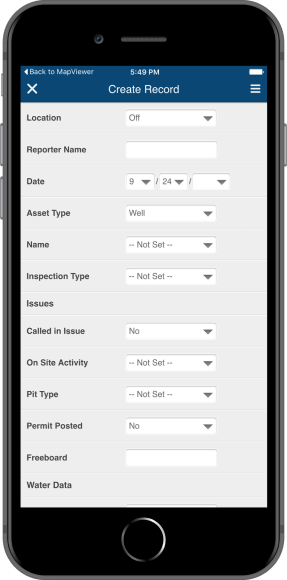
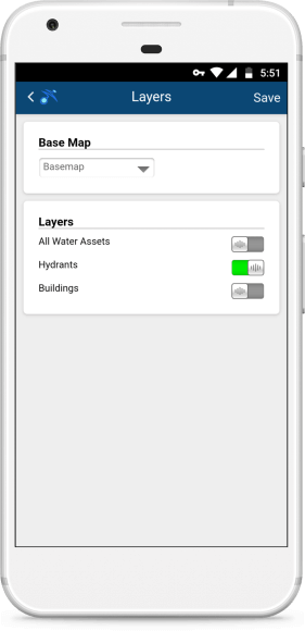
Our no-code Configuration System can make anyone a mobile workflow ninja.
You’re in control of the mobile apps. A straightforward design means fast start up with minimum resources required. Implement with existing personnel. No long learning curve.
Simplify workflow by building purpose-specific maps and forms just the way you need them.
Integrated with GIS
Deeply Integrated with Esri ArcGIS
Your work in the field occurs at a location. Freeance is deeply integrated with GIS as the authoritative system of record so that you can easily integrate GIS into your mobile workflows. Replace unreliable paper-based data collection with a trustworthy digital solution that fits the needs of diverse environments.
Freeance software integrates directly with Esri’s ArcGIS Server software to make live GIS data available in the field. Both office and field personnel can instantly view and work with updates made by anyone in the field.
All your layers, all your map features are available on smartphones and tablets. Pan, zoom, search, layer control, geocoding and more. Zoom to your current location use Follow Me to see your location as you move around.
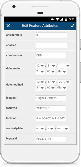
Edit GIS Maps
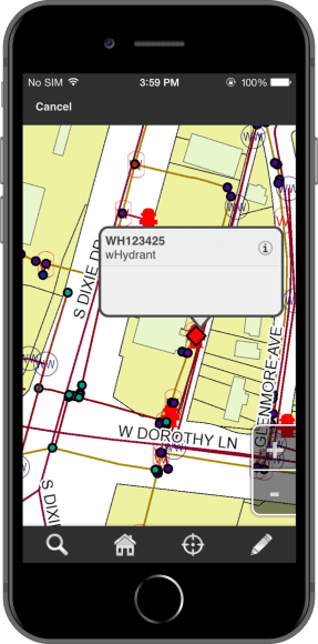
It’s Simple to Edit Maps in the Field
Improve the accuracy and currency of your data. Add and delete features, edit attributes, create lines and polygons.